

i had it all planned. a big build up to the wander. a link to the sound track for the big country until it was deemed that i infringed on an copyright and it would be taken down.
a map of the route. a change to the heading.
instead i am in grand forks north dakota in an expensive hotel as it seems that college starts early here and all the motel 6 type places are taken up. i am heading north of 60 because that is where the north starts and because this would be a punning wander as i also head north of 60.
the part of the 60th parallel that i am planning to cross is the british columbia yukon territory border. again multitasking i realised when i came back from the maritimes meander, that i had hit all the provinces east of the prairies - prince edward island cinched it as it was the most out of the way. for most people that would be newfoundland but... well...
having to cut short my time on the rock last year, i was hoping that i could finish off the western provinces later in the summer. it just never came about. this summer when i learned the true meaning of dysfunctional being chair and heading east was out of the question there was the idea of north.
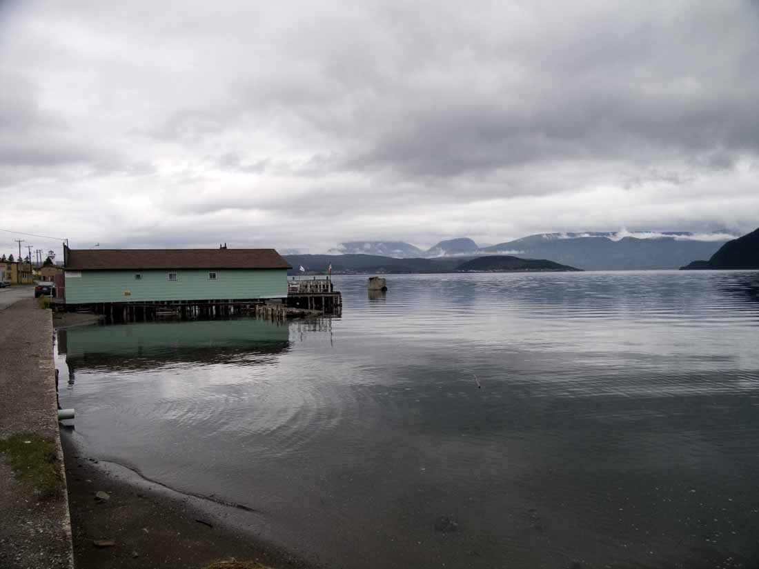
maturely i saw it as a challenge - not in the road trip type of challenge - in truth this is precisely what i don't want. i don't want to make time, i don't want to cover territory - well only on a secondary plane. i thought it would be challenging to head away from everything that interests me, water, places at the end of the road. places so isolated that what we consider normal for living in the 21st century simply - mobile phones, etc. aren't available for there aren't enough people to make it profitable.
is there a difference between a sea of grass and the sea? does it matter where the sparsely populated areas are? don't the same questions apply? looking at the map once i pass edmonton. i find that there are no options for some routes. this is only marginally different than taking the trans labrador or the baie d'espoir highway. the difference being that at the end of that there would be water.
here i am heading to dawson city in the klondike, how can i resist that. i have to take the alaskan highway, to the top of the world highway. i play tag with the 60th as it seems that the alaskan highway itself cannot decide whether to continue or not when it hits the bc yukon border. the klondike because there is a residency there that turned me down. this is not meant to get even but to prove that i am self sufficient and while the residency would be nice, i can still go. one has to prove to oneself from time to time that one can still go.
it sounds so remote but the entire journey has been documented on streetview. i wonder about blackfly, moose, and gasoline. i worry that the journey will be too long for my manic self and too short for when i finally win back patience will stop and make snaps. even then i have to be aware of the time the insanity starts 28 august.
i have to remind myself that this wander is to restore patience, to realise that the world doesn't function in a state of constant crisis and illogical unexplained decisions that people with only hints of power exercise when they don't want to be bothered. i cannot multitask but have to make sure that i don't make time.
 this really isn't the sort of thing that i do. it is the difference between a trip and a stay. i tend to prefer the later. this is definitely a trip. reaching dawson city will be strange as i shall have to turn back - but i did notice that with only a slight diversion i could make it to juneau and not only finish off the provinces but add two northern states...


1 comment:
godspeed clarke.
Post a Comment